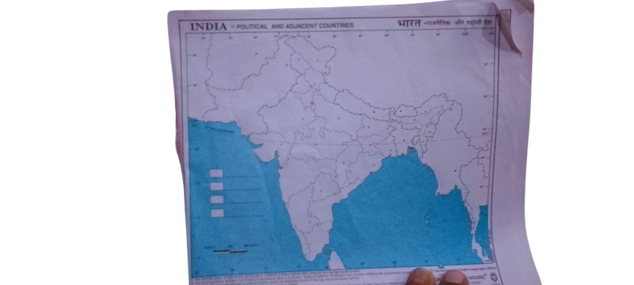
This India Map is an essential learning tool for students, educators, and competitive exam aspirants. Available in political or physical formats, it helps learners understand India’s geography, states, capitals, rivers, and physical features. Ideal for classroom teaching, home learning, and school projects, this map is printed on quality paper with clear labeling and vibrant colours.
Key Features:
-
🗺️ Educational India Map – Available in political and physical versions
-
🌍 Clear & Accurate Details – Shows states, capitals, rivers, mountains, and borders
-
📏 Standard Size – Suitable for school projects and wall display
-
🎨 Vibrant Print – High-resolution colors for better visibility and engagement
-
📚 Ideal for Students – Useful for geography studies and competitive exams
-
🧷 Foldable or Rollable – Easy to store and carry
Reviews
There are no reviews yet.